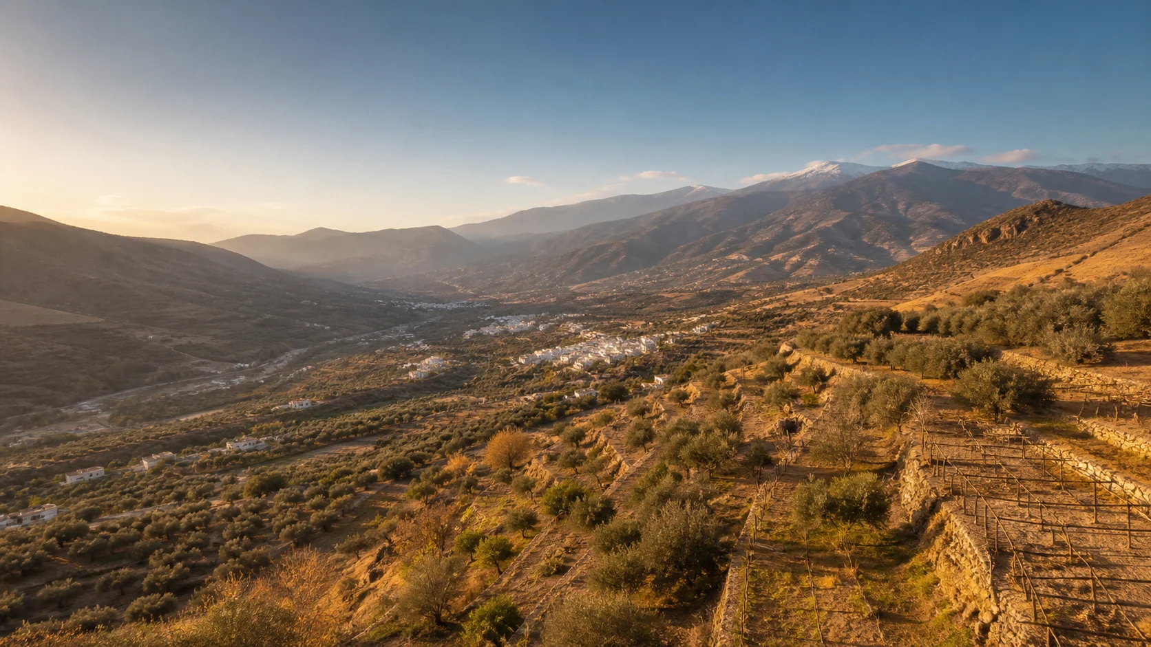
Almería Alpujarra · the eastern side
The Almería Alpujarra — and Alhama, its eastern gateway
Say "Alpujarra" and almost everyone will think of Granada. Geography tells another story: the comarca spills well into the province of Almería, and its eastern side — the least known, the least visited, and perhaps the most surprising — begins here, in Alhama.
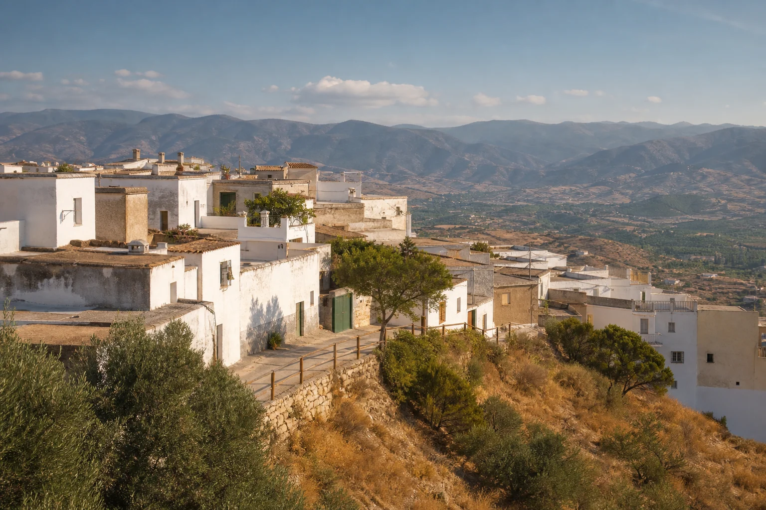
The sea is some thirty kilometres away. The greenhouses, twenty minutes. And the road is already climbing towards white villages perched above 900 metres, at the foot of the Sierra Nevada.
- +900 mwhite villages
- 22municipalities
- 30 kmfrom the sea
01 · Getting our bearings
Where exactly are we?
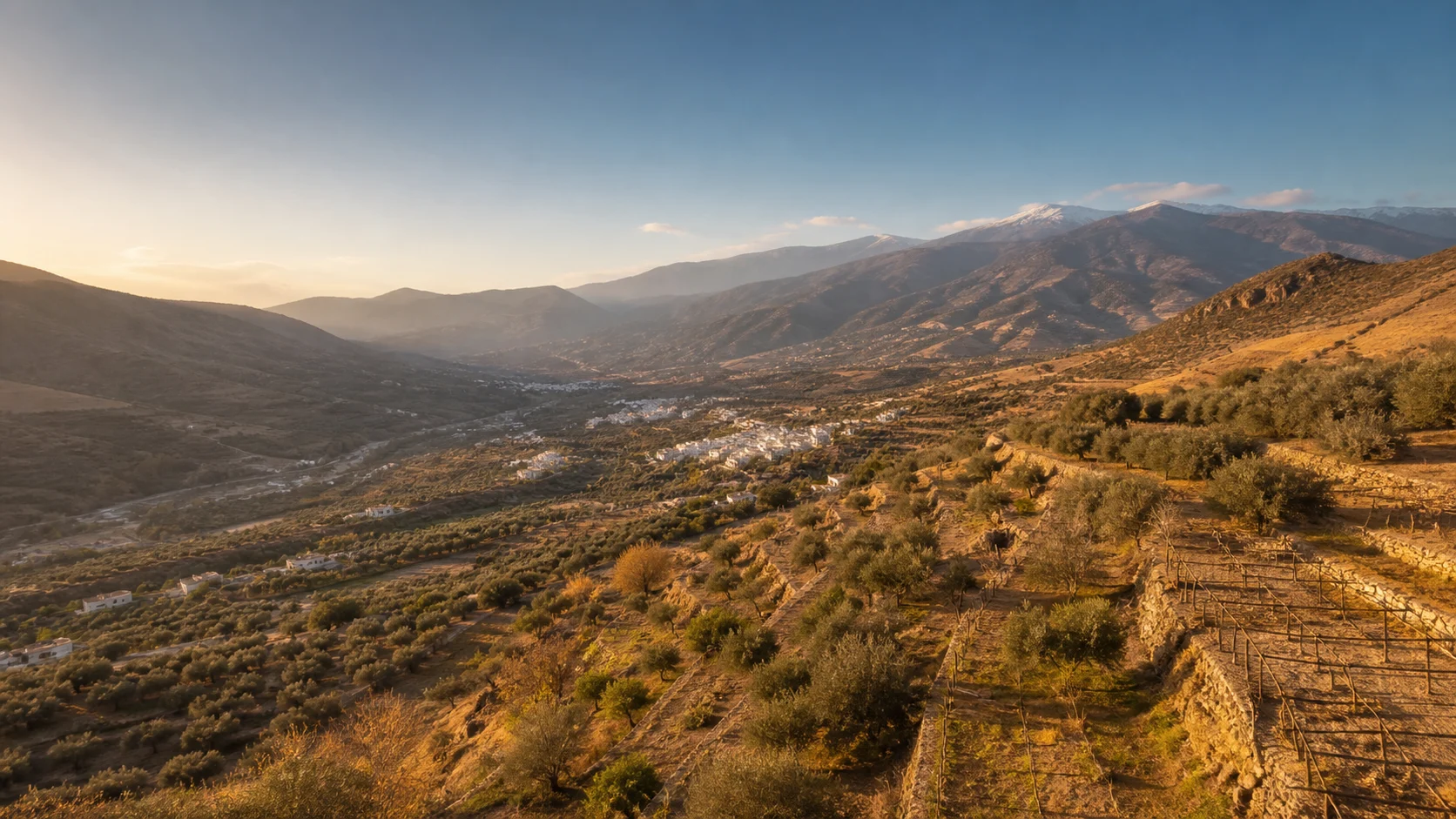
The Almería Alpujarra occupies the western end of the province of Almería. It stretches along the fertile Andarax valley, wedged between two ranges: the Sierra de Gádor to the south and the Sierra Nevada to the north. The river rises in the comarca and runs its full length before dropping towards the Almería plain.
It is the smallest of the province's seven comarcas, yet the second in number of municipalities.
The comarca in twelve figures
- Municipalities
- 22
- Area
- 812.5 km²
- Population
- 14,981 inhabitants
- Density
- 18.4 inhab/km²
- Administrative capital
- Alhama de Almería
- Historic capital
- Laujar de Andarax
- Most populated town
- Alhama de Almería
- Largest municipality
- Laujar de Andarax
- Highest municipality
- Bayárcal (1,255 m)
- Lowest municipality
- Terque (278 m)
- Least populated town
- Beires
- Smallest municipality
- Alicún
02 · The contrast
The contrast nobody talks about
Visitors to Almería are sold the Tabernas desert and its western film sets, the beaches of Cabo de Gata, the sheer scale of the Poniente greenhouses.
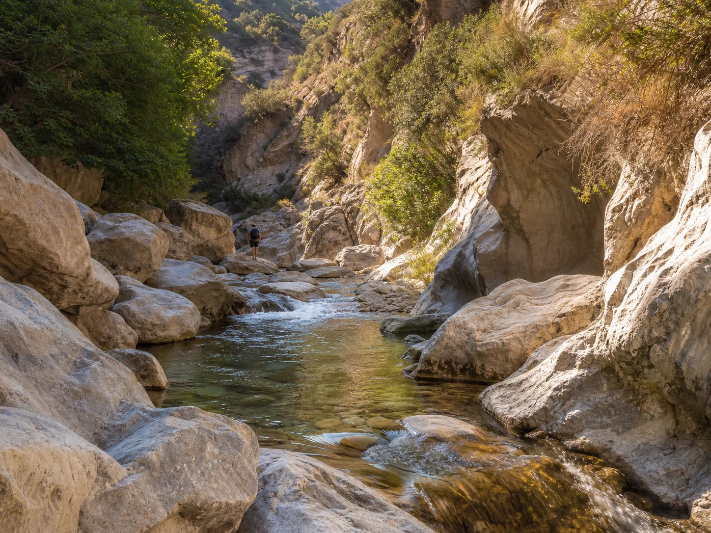
And half an hour from all of that lies a green, humid mountain range, laced with springs, where the villages are white and vines grow at 900 metres. South of the Sierra Nevada, the terrain tops 2,000 metres in many places. The contrast with the usual image of Almería is complete.
03 · The eastern gateway
Why Alhama is the eastern gateway
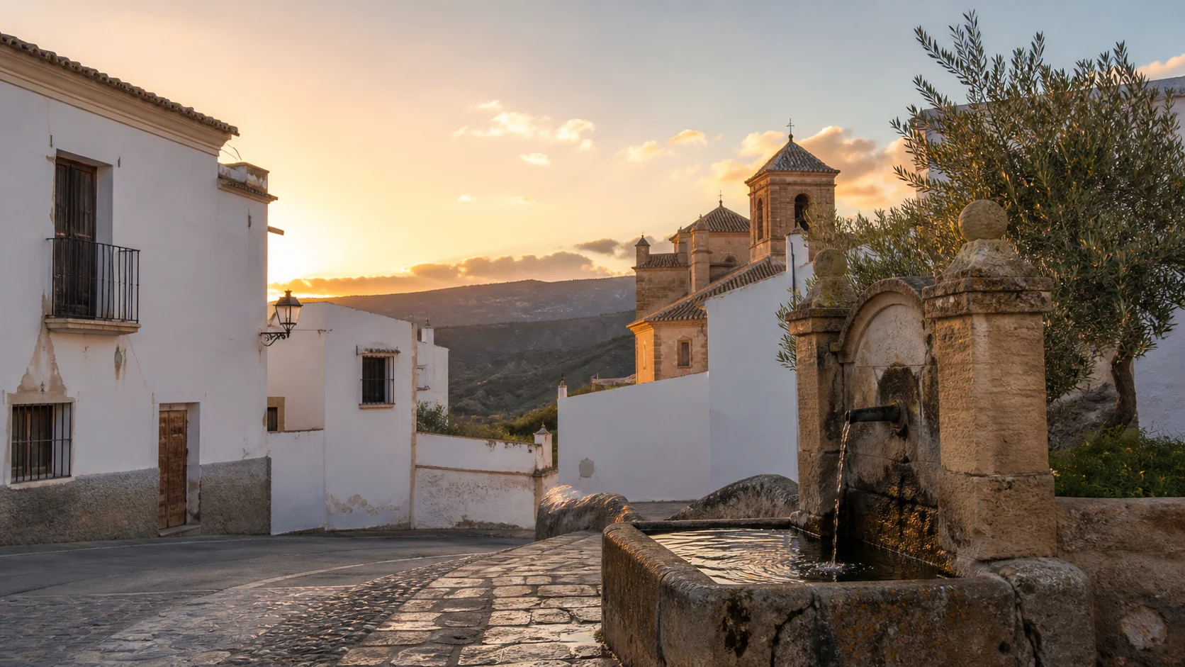
Alhama de Almería sits on the foothills of the Sierra de Gádor, on broken ground that falls away to the bed of the Andarax. The village keeps the street pattern typical of the area, with narrow lanes that betray its Muslim origin, and the vine trellises of its orchards — home to the valley's famous grape — stand out against the arid, semi-desert surroundings.
That privileged position has earned it three nicknames:
-
The eastern gateway to the Alpujarra
This is where you enter the comarca coming from Almería city.
-
The watchtower of the Andarax valley
The lookout post that commands the course of the river.
-
The balcony of the seven villages
From Alhama, seven villages fit into a single glance.
04 · The guiding thread
The road that orders everything: the A-348
Between Alhama de Almería, the eastern gateway, and Laujar de Andarax, the nerve centre of the comarca, the A-348 threads together a string of mountain villages. You leave Alhama, follow the valley upstream, gain altitude, and each village becomes a stage.
That linear storyline also orders these pages: the 22 village entries follow the order of the road.
The stages of the road
Scroll to travel through the stages
- Stage 1 Alhama de Almería
- Stage 2 Alhabia
- Stage 3 Alicún
- Stage 4 Huécija
- Stage 5 Íllar
- Stage 6 Instinción
- Stage 7 Rágol
- Stage 8 Terque
- Stage 9 Bentarique
- Stage 10 Alboloduy
- Stage 11 Alsodux
- Stage 12 Santa Cruz de Marchena
- Stage 13 Canjáyar
- Stage 14 Ohanes
- Stage 15 Padules
- Stage 16 Almócita
- Stage 17 Beires
- Stage 18 Fondón
- Stage 19 Laujar de Andarax
- Stage 20 Alcolea
- Stage 21 Paterna del Río
- Stage 22 Bayárcal
Explore the section